Drone Services
Precision Farming from the Sky
Transform your farming with professional drone services. From aerial mapping to precision spraying, our certified pilots deliver results that increase yields and reduce costs.
Transform your farming with professional drone services. From aerial mapping to precision spraying, our certified pilots deliver results that increase yields and reduce costs.
From aerial mapping to precision spraying, our drone services help you make better decisions and apply inputs more efficiently.
High-resolution orthomosaic maps and NDVI imagery to understand your entire farm from above.
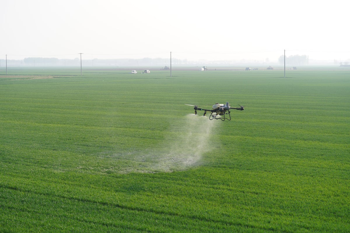
Targeted application of pesticides, herbicides, and fertilizers with up to 40% less chemical usage.
Early detection of pest infestations and diseases before they spread across your farm.
Fast, precise seeding for cover crops, rice paddies, and hard-to-reach areas.
Identify overwatered and underwatered zones to optimize your irrigation system.
Track crop health throughout the growing season with regular aerial monitoring flights.
Getting started with AgriSat drone services is easy. Our certified pilots handle everything from planning to execution.
Call or WhatsApp us with your farm location and service needs. We'll schedule a site visit.
Our team visits your farm, assesses terrain, and creates a custom flight plan for optimal results.
Our certified pilots fly the mission while you watch. Fast, safe, and precise operation.
Get detailed reports, maps, and actionable recommendations delivered to your phone.
Reduce pesticide and fertilizer costs with precise, targeted application that avoids over-spraying.
Spray 10 acres in 30 minutes—compared to a full day with manual backpack spraying.
Access difficult terrain and reach every plant, even in waterlogged or densely planted areas.
Spot problems before they become visible to the naked eye, preventing widespread crop damage.
Get actionable insights from aerial data to optimize every aspect of your farm operations.
Use less chemicals, reduce soil compaction, and protect beneficial insects with targeted application.